Tackling the Bucket List
Students in the Outing Club’s new pilot Spring Term program had the chance to step outside their comfort zones one more time before Commencement.
.jpg)
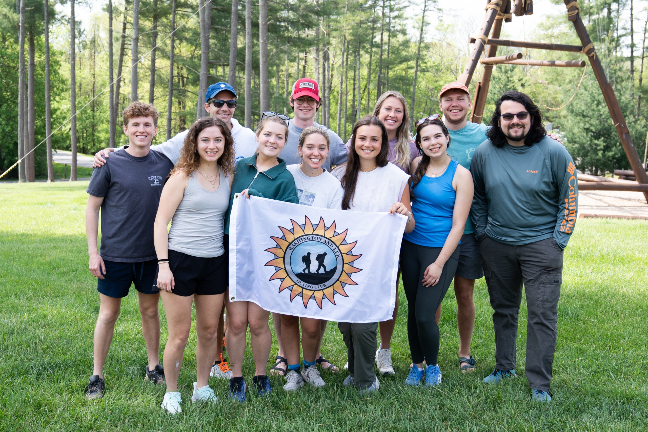
The W&L Outing Club offers students, faculty, and staff a variety of outdoor activities and classes. W&L students lead most of the activities, which include backpacking, fly fishing, canoeing, kayaking, rafting, rock climbing, mountain biking, caving, skiing, and outdoor cooking. Trips vary in length from day hikes to ten-day trips held during February and Spring break. Equipment and trip planning resources are available to all Outing Club members who want to do their own trips.
Membership to the W&L Outing Club entitles you to access our indoor climbing facility, access our bike shop, participate in all day trips,overnight trips, outdoor classes, and allows you to check out any outdoor equipment (SUP's, kayaks, bikes, packs, tents and more), without further cost. Trip sign-ups and equipment are limited so all sign-ups and rentals will be taken on a first-come first-served basis.
Want to get to the Outing Club to checkout equipment, a bike or climb the rockwall?
Go to 159 West Denny Circle, right next to the Tennis Center and the Baseball Field. The Outing Club meeting room is located on Campus Level of the Elrod Commons, room 114.The Outing Club House is located at 203 East Washington St. in Davidson Park.We can be reached by phone at (540) 458-4066 or by e-mail at outing@wlu.edu.